Contact me
Please let me know about any problems you find on the site—thanks!
I am now retired and no longer take on freelance work.
Terrain, maps, and more
This site started out as a resource for cartographers creating shaded relief, panoramas, land cover, and related raster art on maps. It has since grown to include my other cartographic interests and has become a repository for my maps, all of which are in the public domain.
I hope that you enjoy the site.
New stuff
Last update: April 24, 2024
A photo-realistic map of the second highest peak in Utah's Wasatch Range. The summit is a study in glacial geomorphology featuring arêtes, cirques, and horns. A small rock glacier is also visible.
Exploring Greenland's Southern Tip
A reference map of southern Greenland showing mountains, islands, fjords, vegetation, glaciers, tourist sites, and medieval Norse ruins. Place names are in Greenlandic, Danish, and English.
South Shetland Islands and the Northern Antarctic Peninsula
A reference map of the frequently visited part of the Antarctic Peninsula north of the Antarctic Circle. It is available for free. You may use it for online viewing, as wall art, or to track your location on a mobile device while on board a ship.
"Right now is the golden age of cartography." Me chatting with Evan Applegate about mapmaking then and now. August 21, 2023. Run time: 1 hour and 12 minutes.
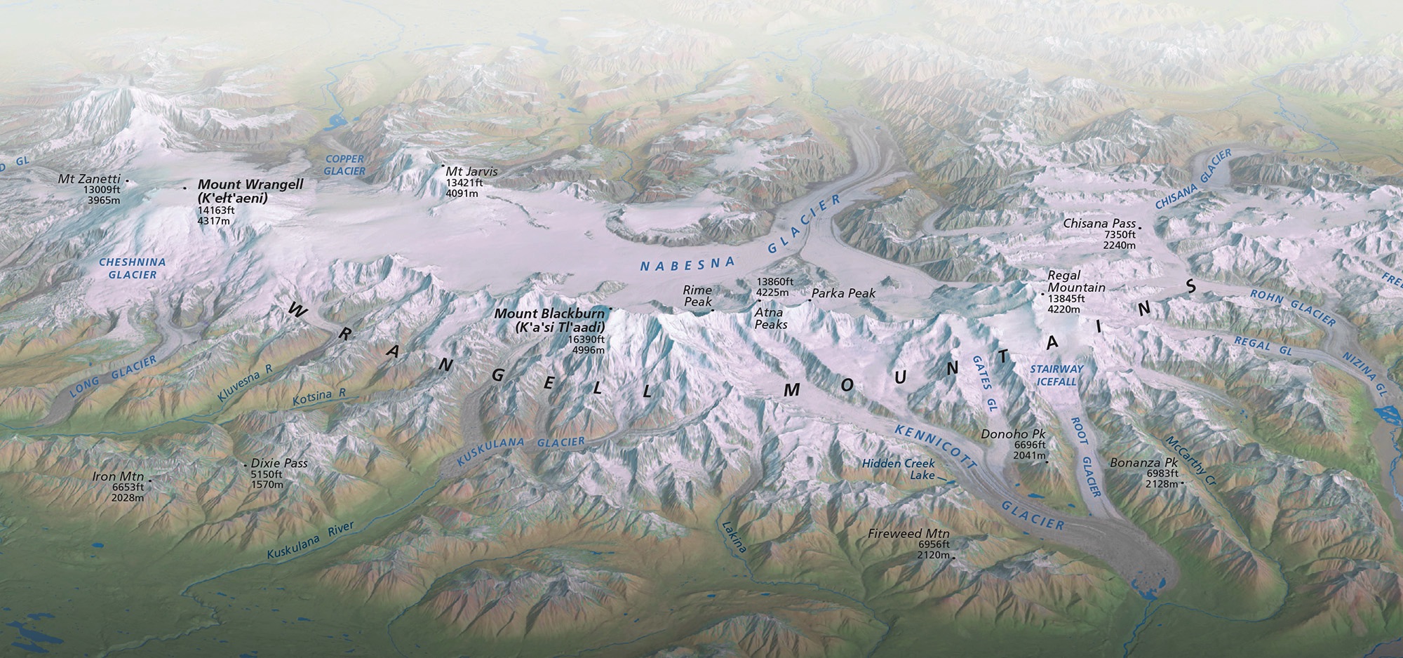
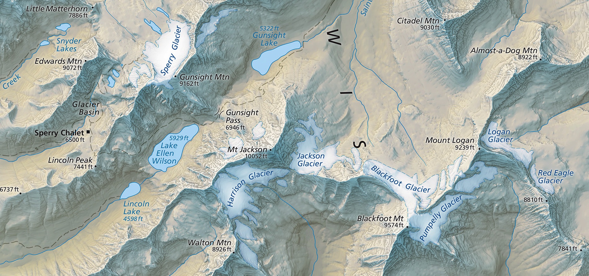
A 3D view North America's icy heartland, the Saint Elias Mountains. It focuses on the Alaskan coast and the largest piedmont glacier on Earth. The panorama is available with and without labels.
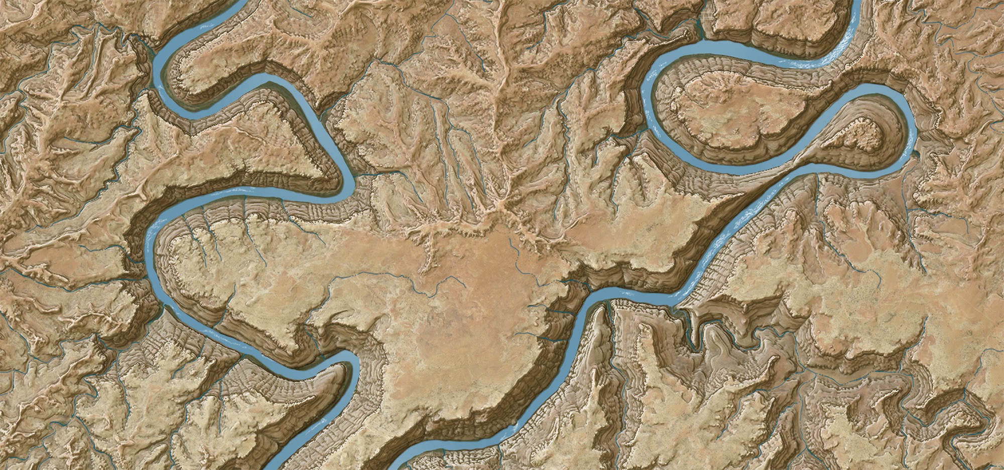
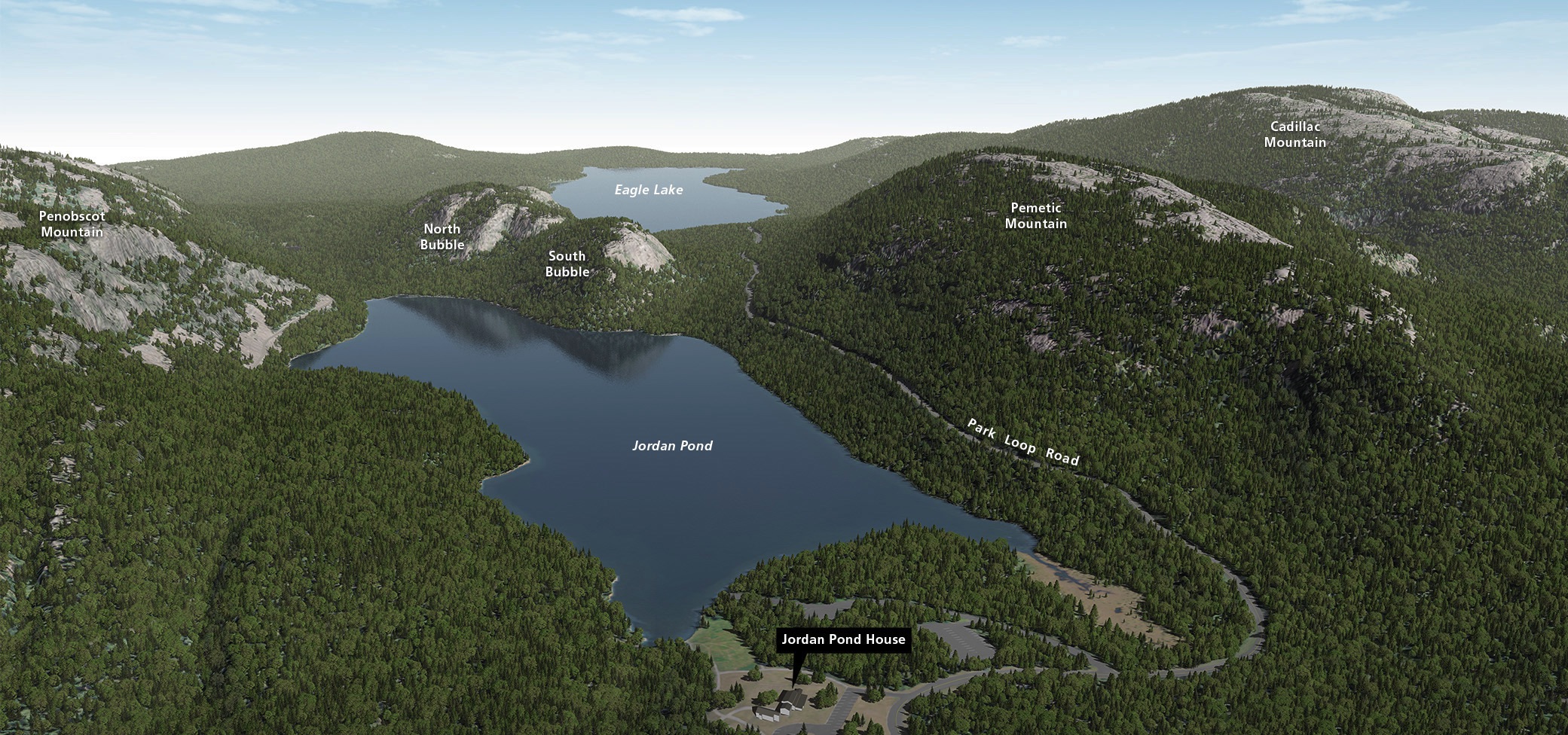
Shaded Relief