Natural Earth II Projection |
|||||||||||
 |
|||||||||||
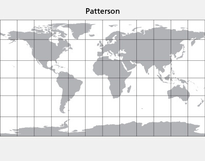
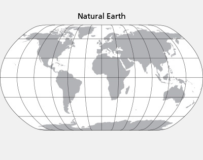
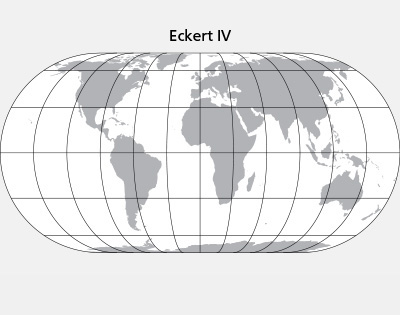
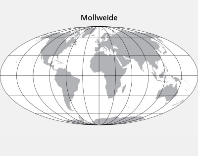
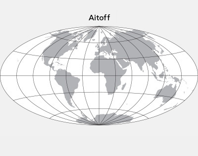
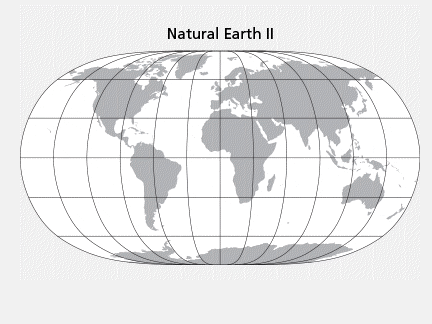
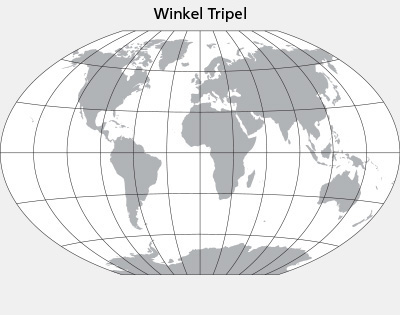
The Natural Earth II is a new pseudocylindrical projection with a highly rounded shape. At high latitudes the meridians bend steeply inward to short pole lines. Compared to other rounded projections, such as the Aitoff and Mollweide (see examples below), the Natural Earth II bulges out less on the sides, filling more of the printed page with your map. Continents look familar without the north-south streching found on the Eckert IV. The Natural Earth II has areal distortion values similar to those of the popular Robinson and Winkel Tripel projections. |
|||||||||||
 |
 |
||||||||||
We have published an article about the design and development of the Natural Earth II projection available here. Developers: You can implement the Natural Earth II projection in your software by downloading the source code at: Cartographers: The Natural Earth II projection is now available in the latest version of Flex Projector. With this free software you can make maps from vector and image geospatial data. We hope that you find the Natural Earth II useful for your mapmaking. Tom Patterson, US National Park Service Bojan Šavrič, Cartography and Geovisualization Group, Oregon State University Bernhard Jenny, Cartography and Geovisualization Group, Oregon State University |
|||||||||||