 |
|||||||||
Landsat 8 Photoshop Tutorial |
|||||||||
Web resources |
|||||||||
Check out the following websites for more information about Landsat 8. •XUSGS – Landsat 8 main website •XUSGS – Landsat 8 Acquisition Schedule and Track Map •XUSGS – Landsat 8 Frequently Asked Questions •XNASA – Landsat 8 main website •XNASA – Spacecraft and Instruments •XNASA – How to Make a True-color Landsat 8 Image •XMapBox – Putting Landsat 8's Bands to Work |
|||||||||
 |
|||||||||
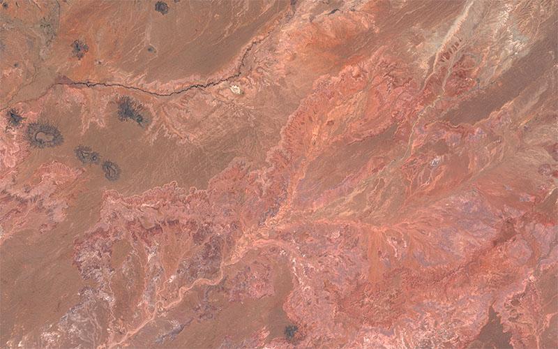
Figure 21. Parting image. The Painted Desert, Arizona, in natural color. |
|||||||||