Update! The data is now available at: https://nationalmap.gov/small_scale/atlasftp.html |
|||||||
Natural Earth for the National Atlas |
|||||||
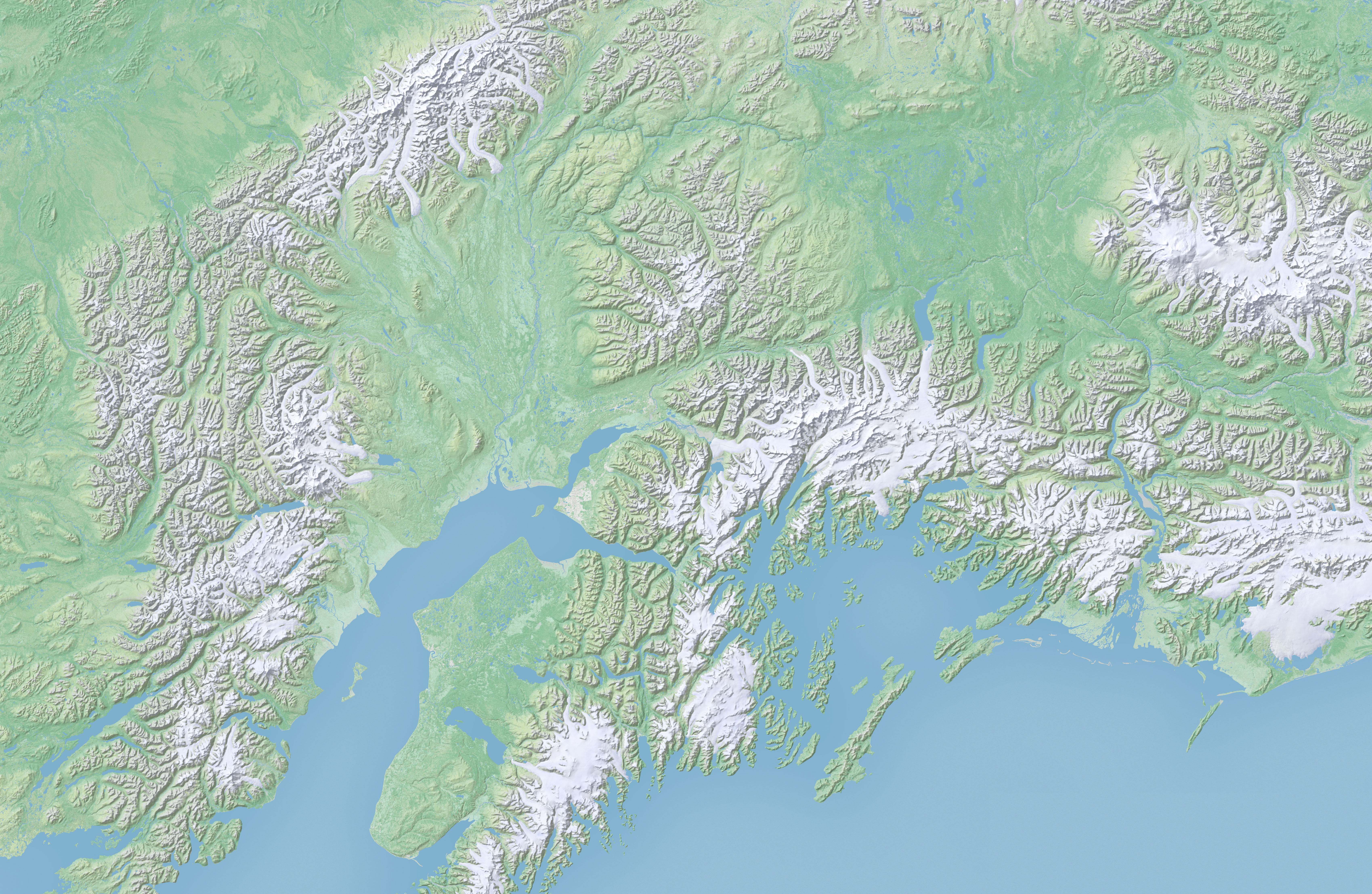
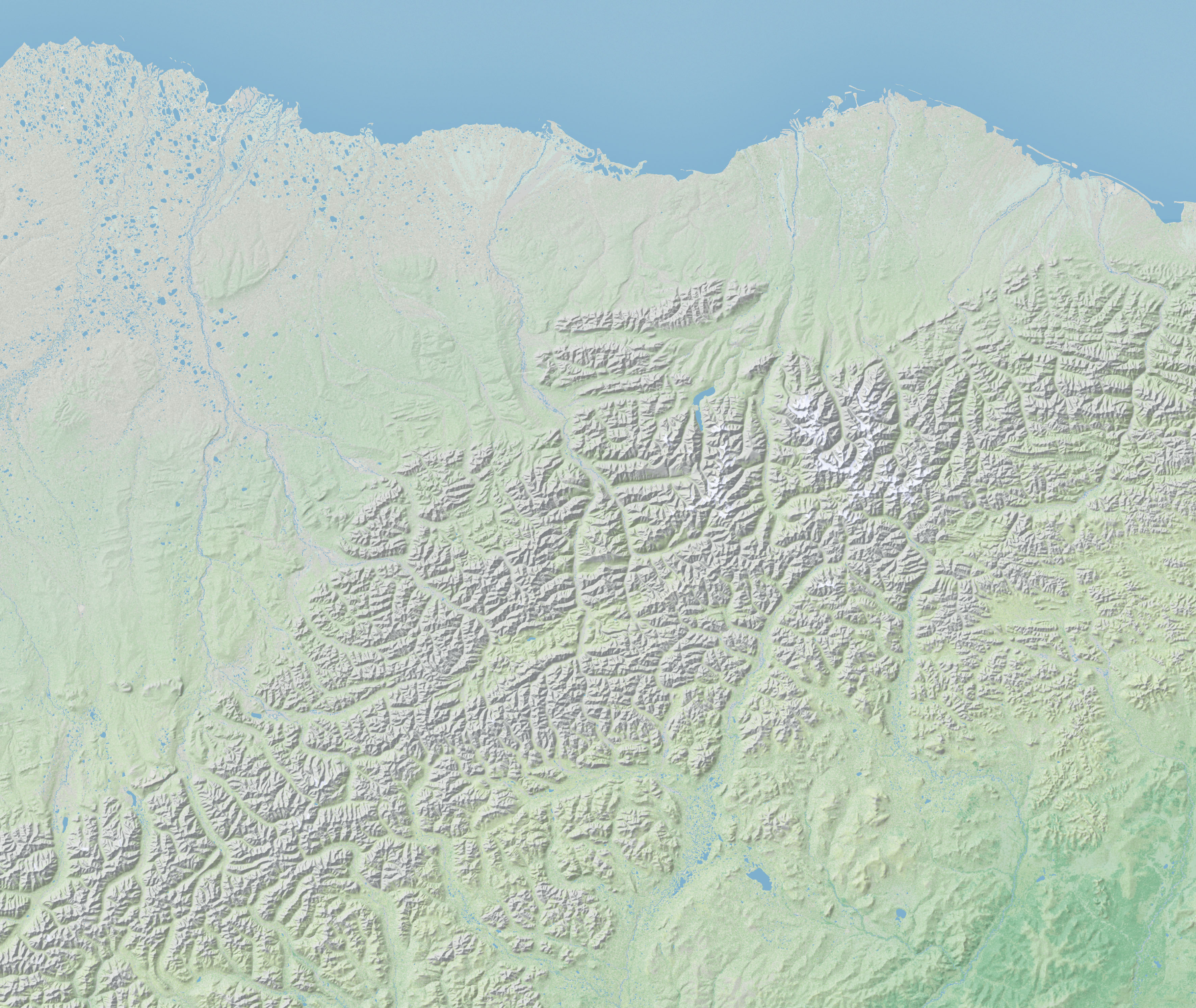
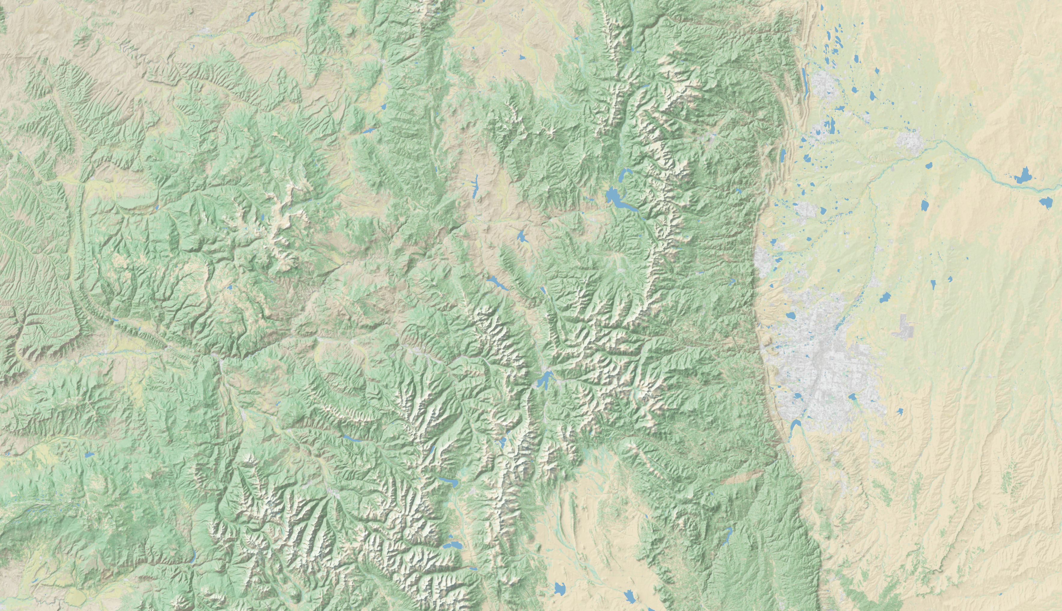
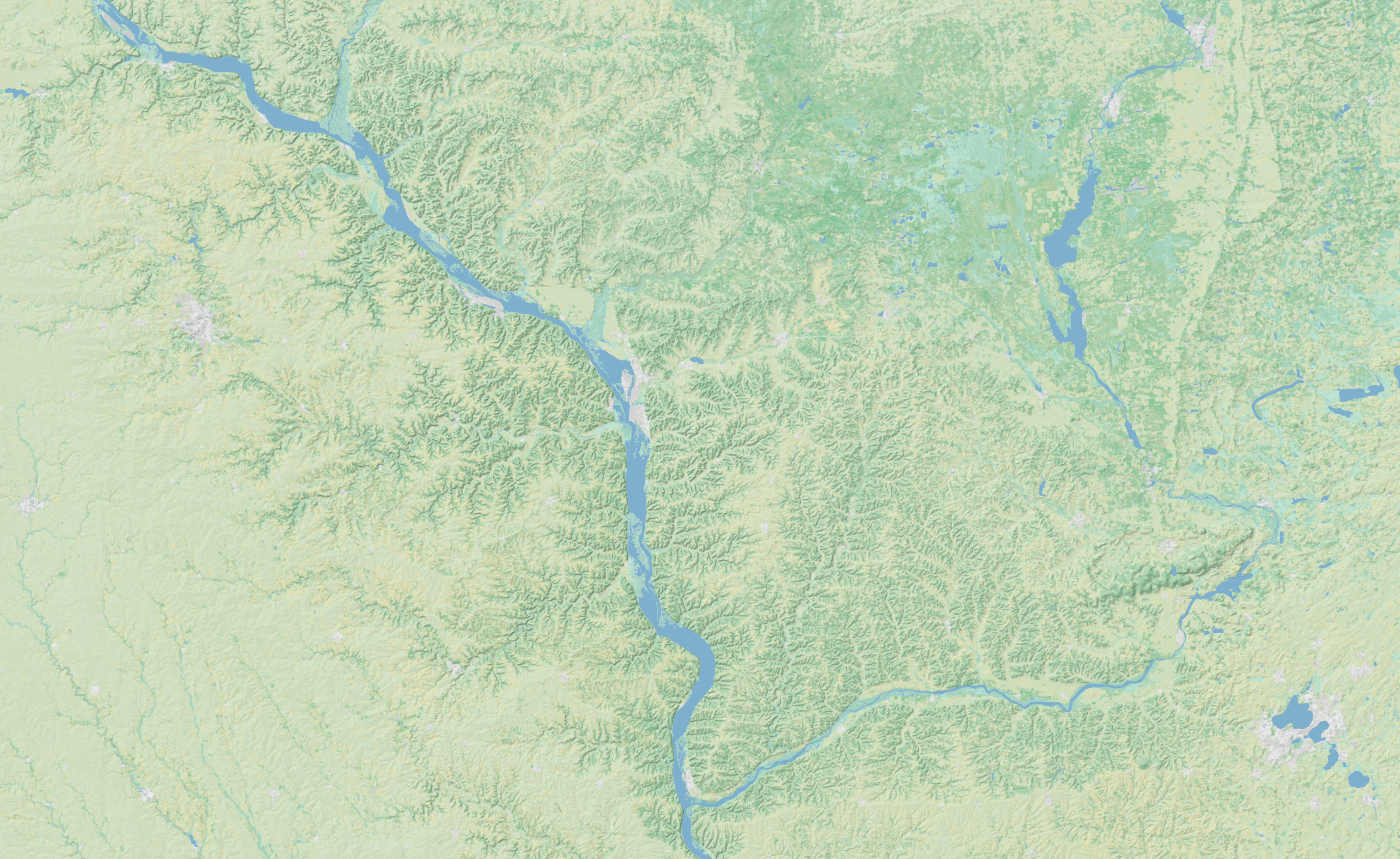
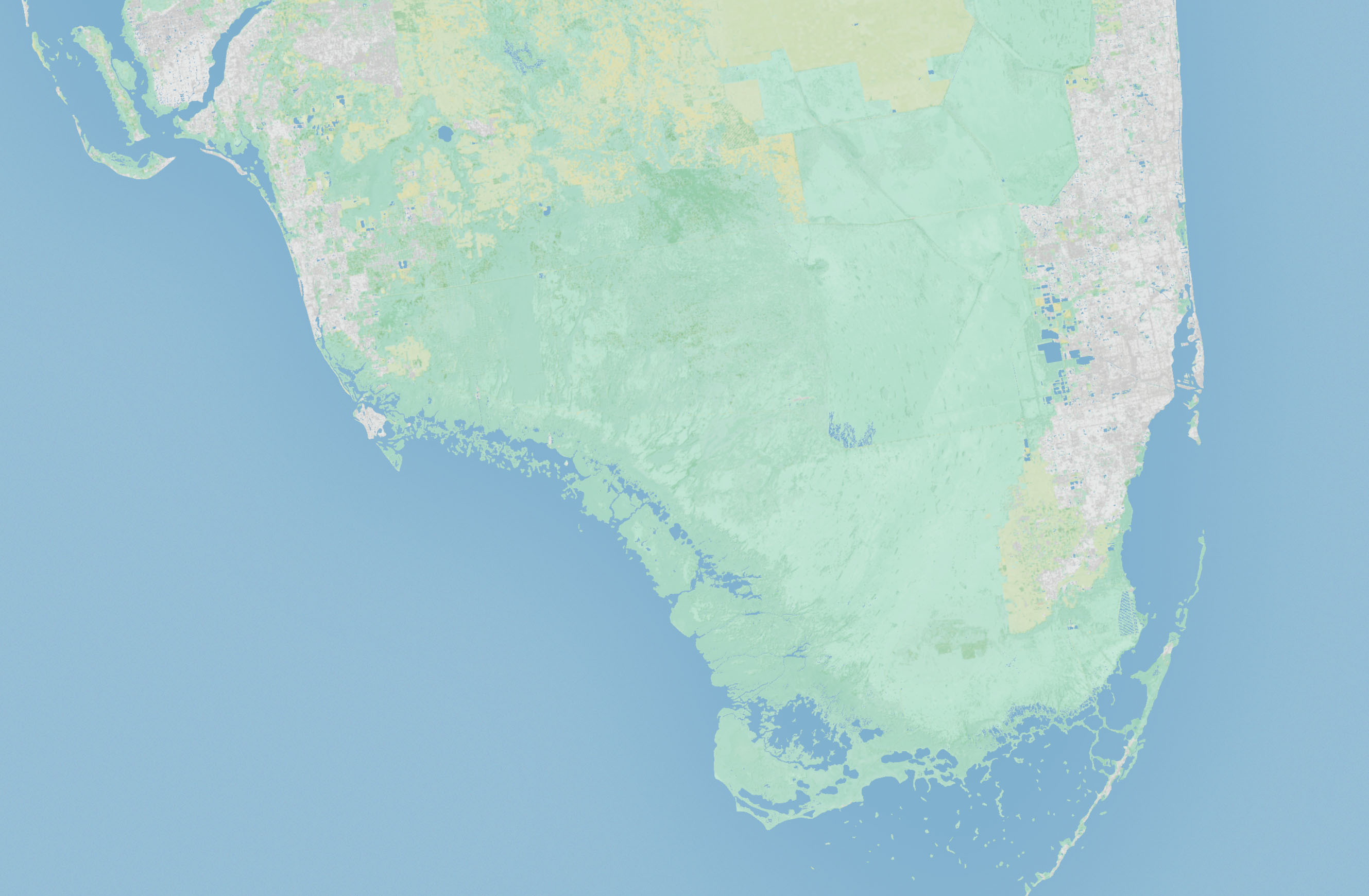
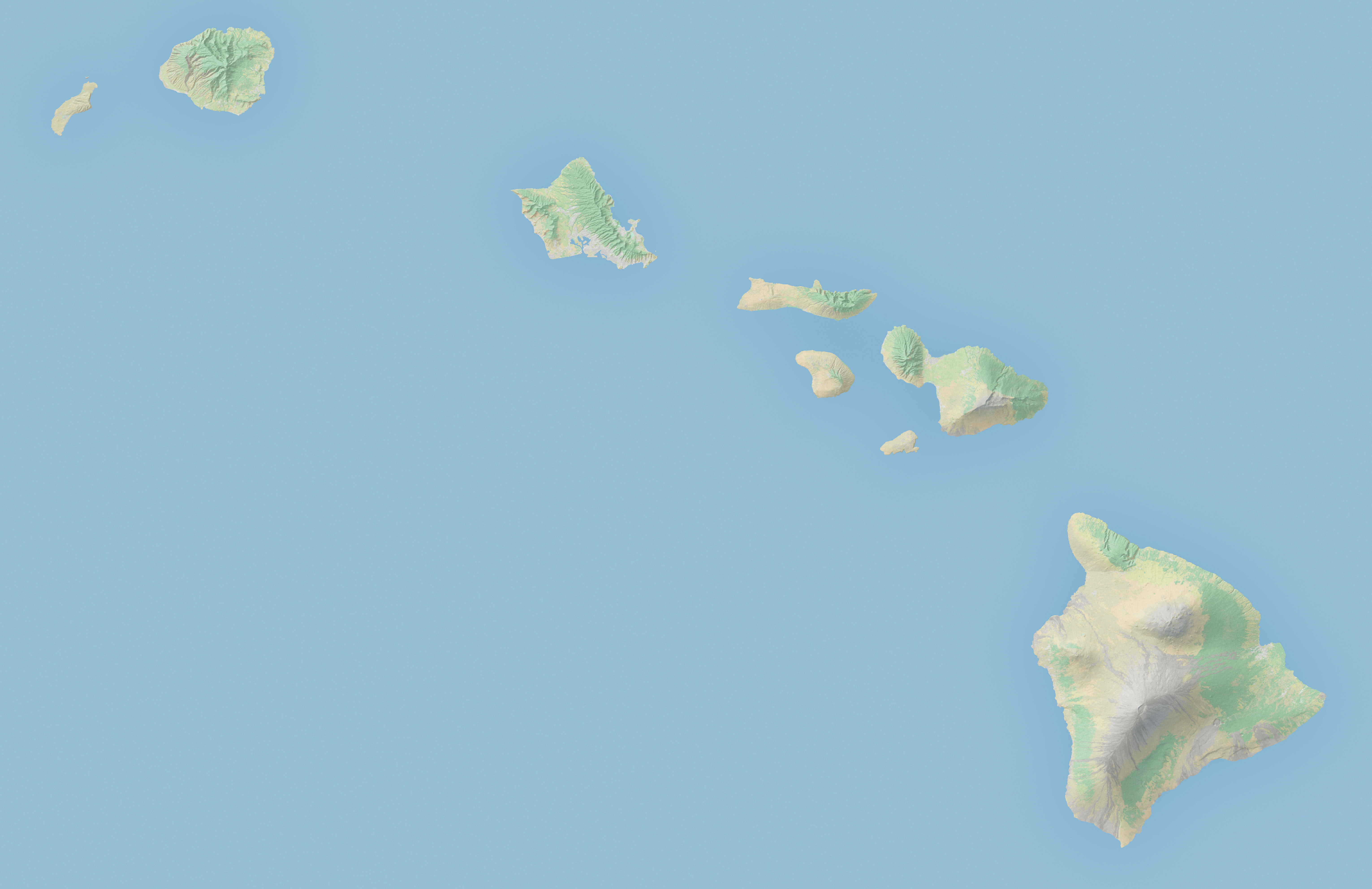
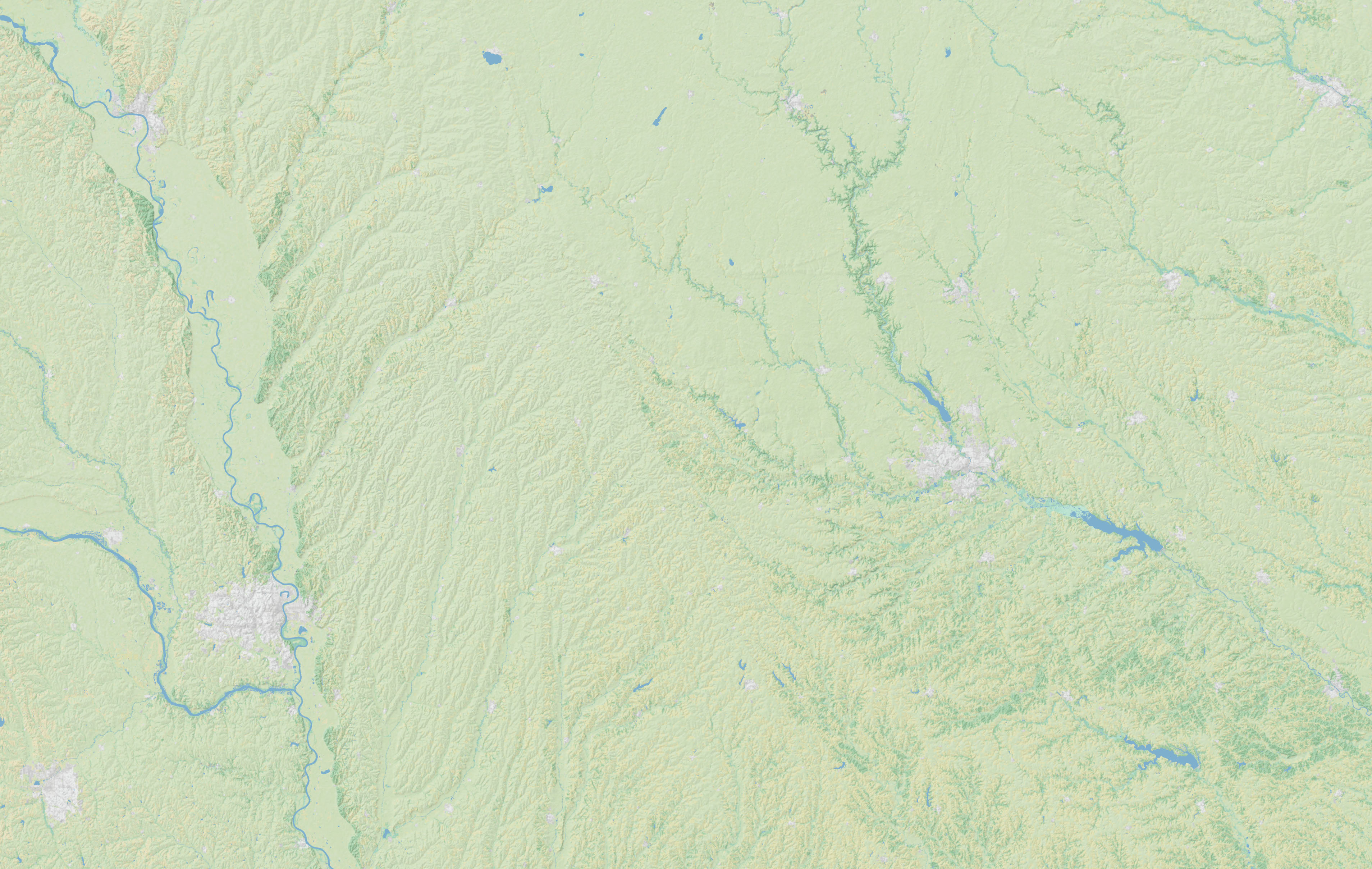
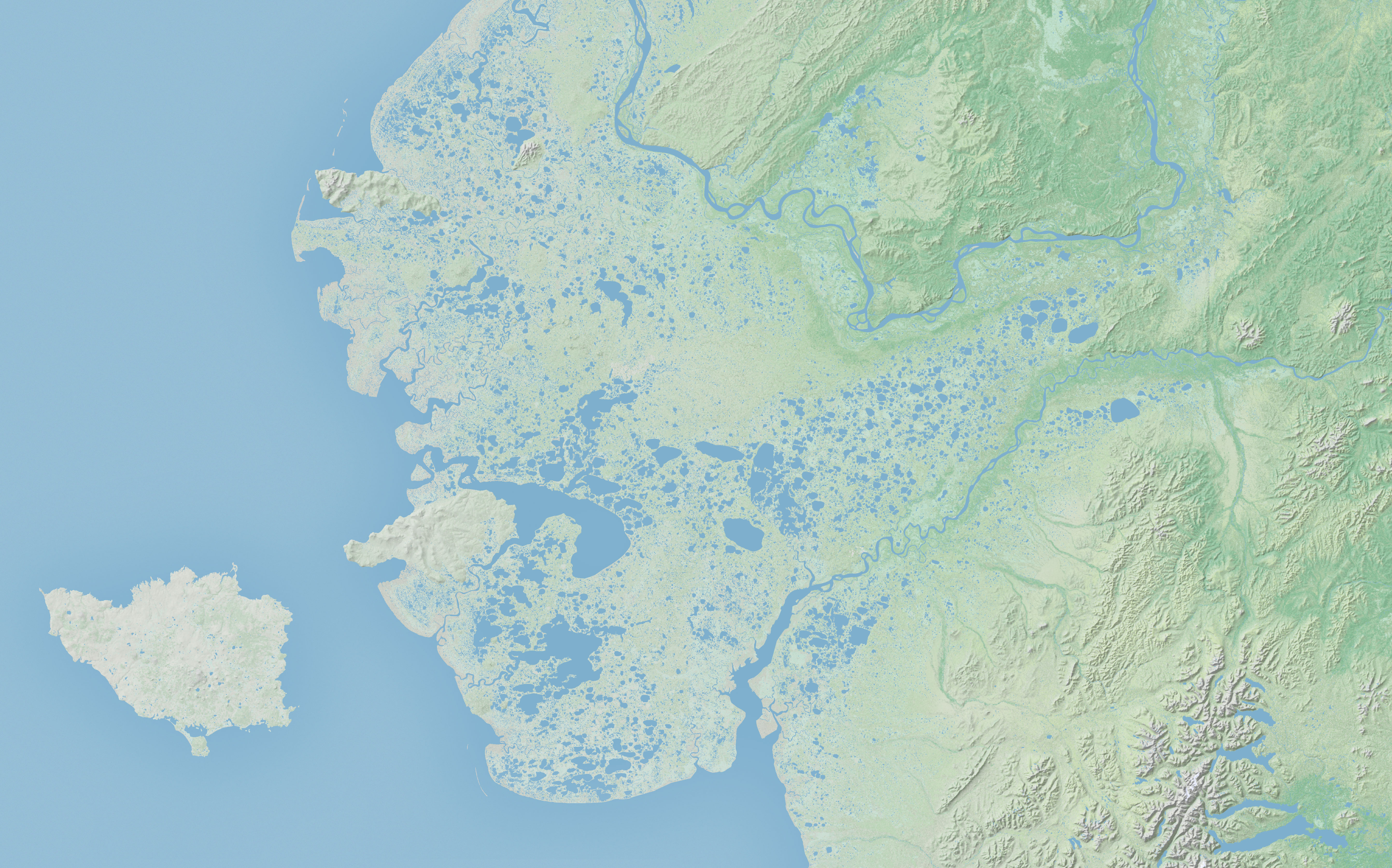
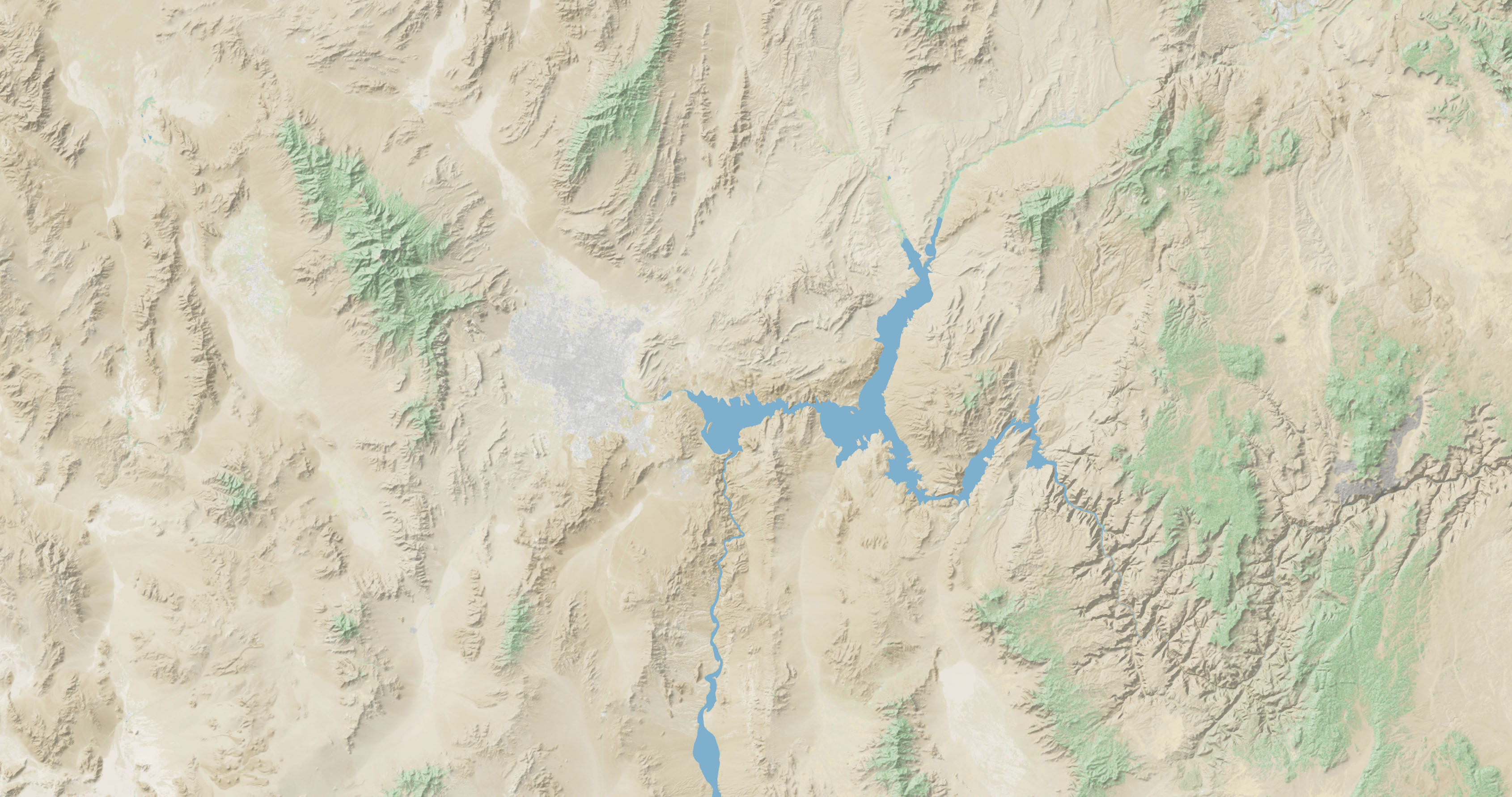
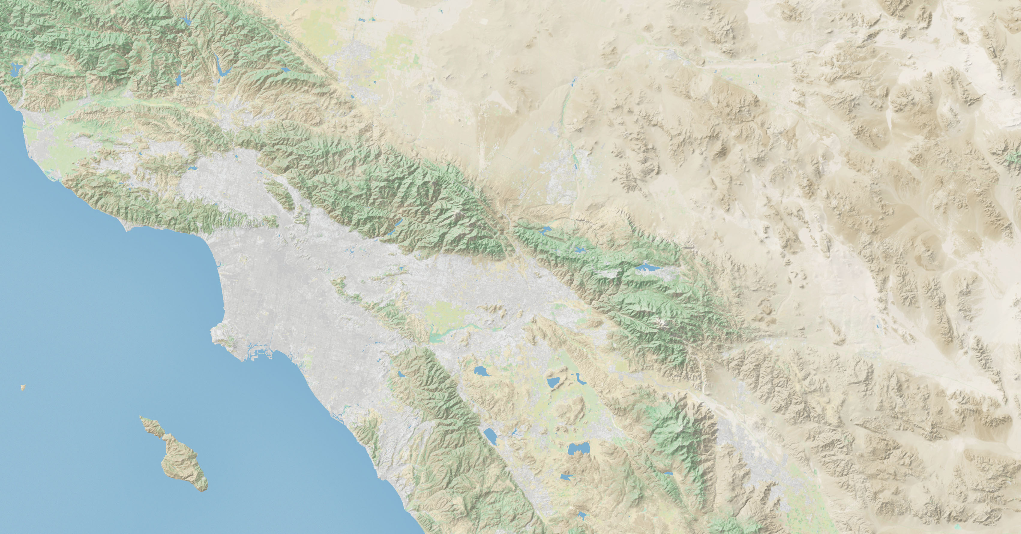
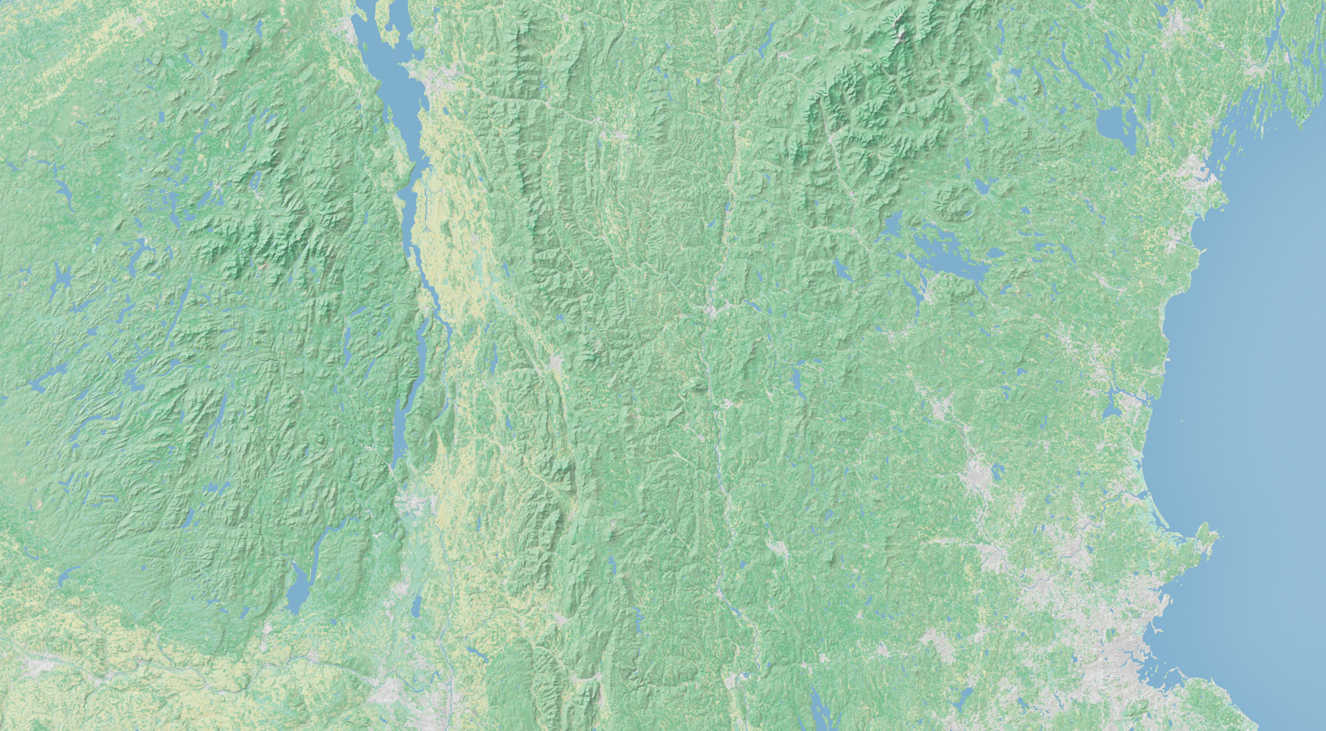
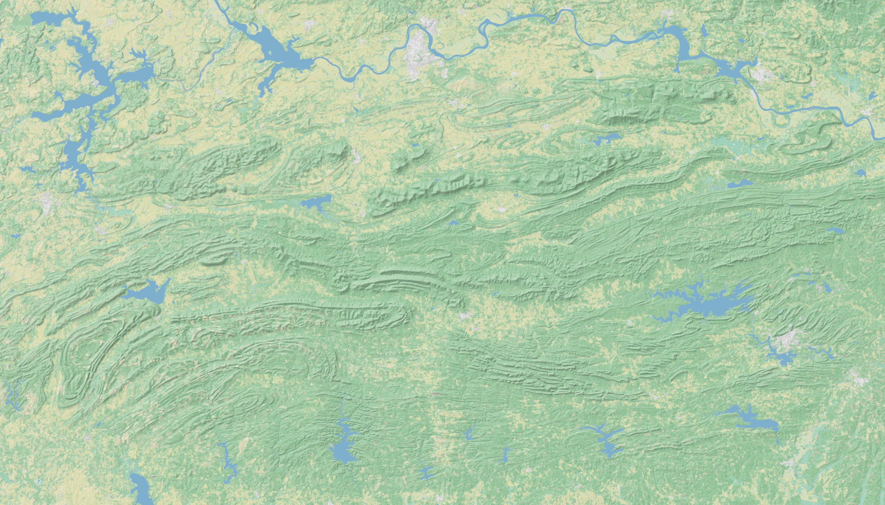
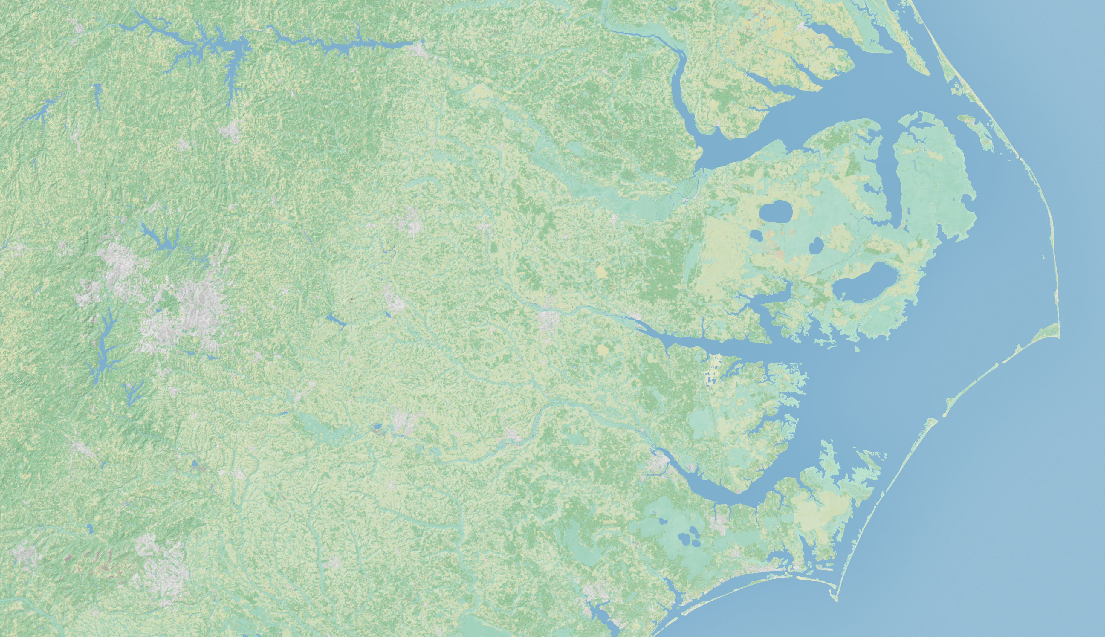
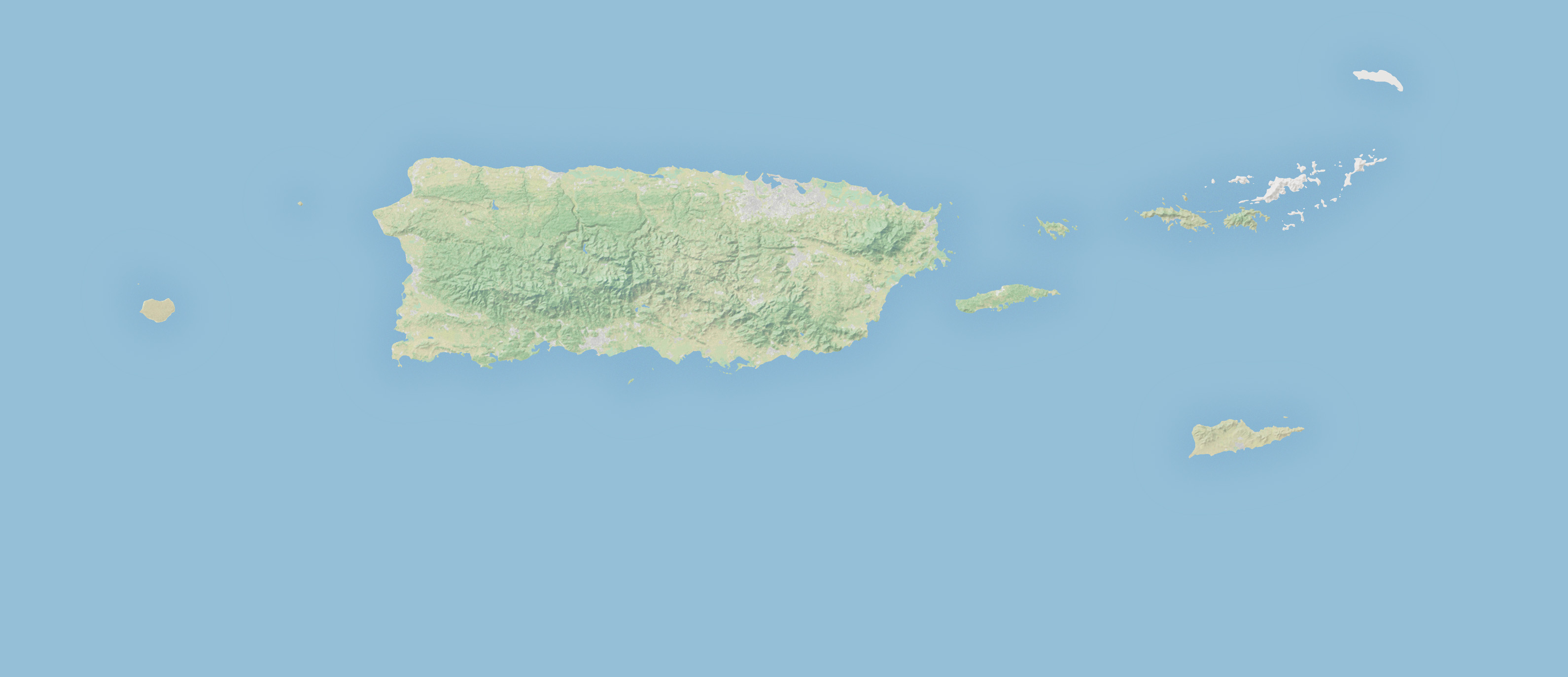
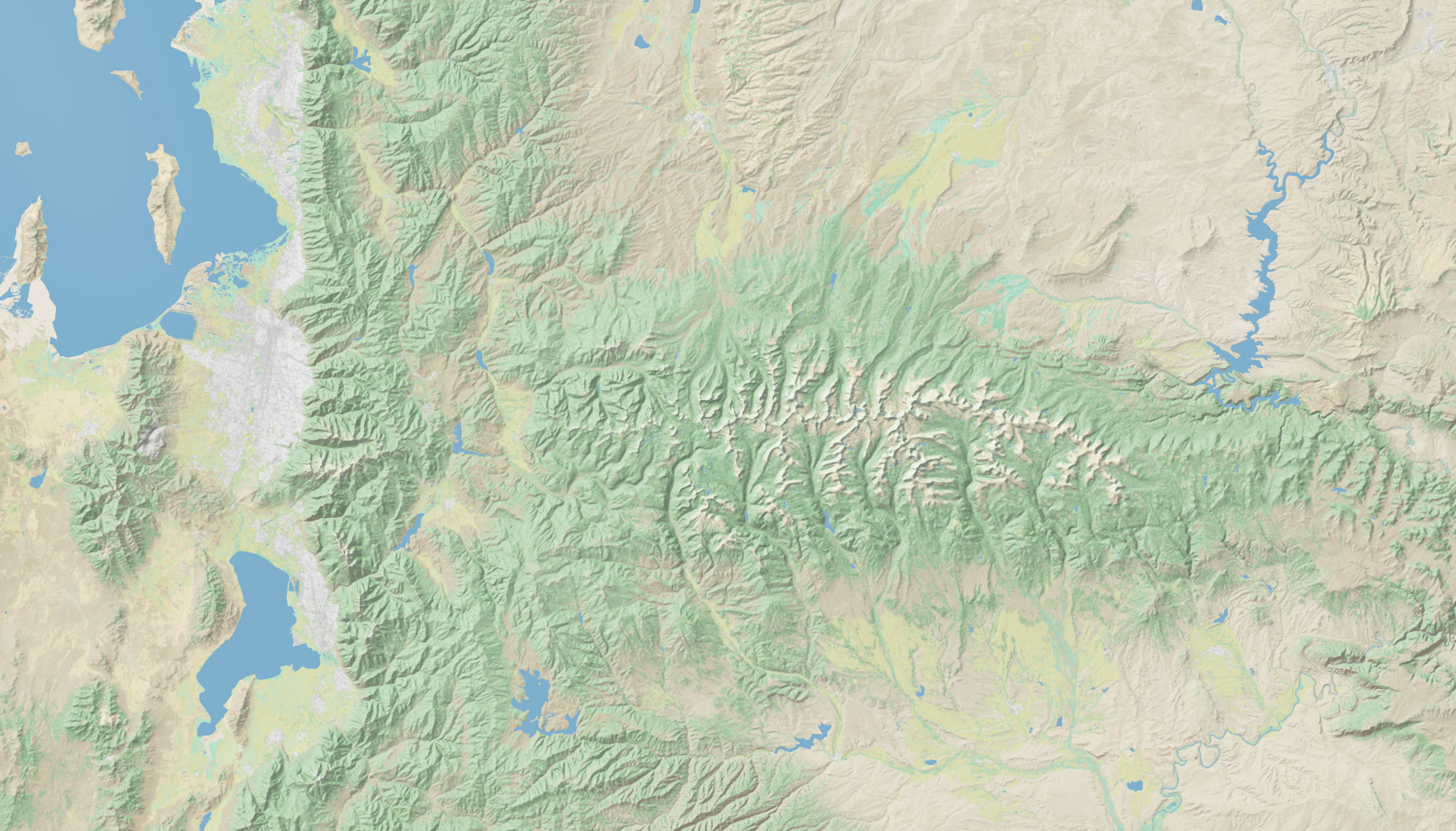
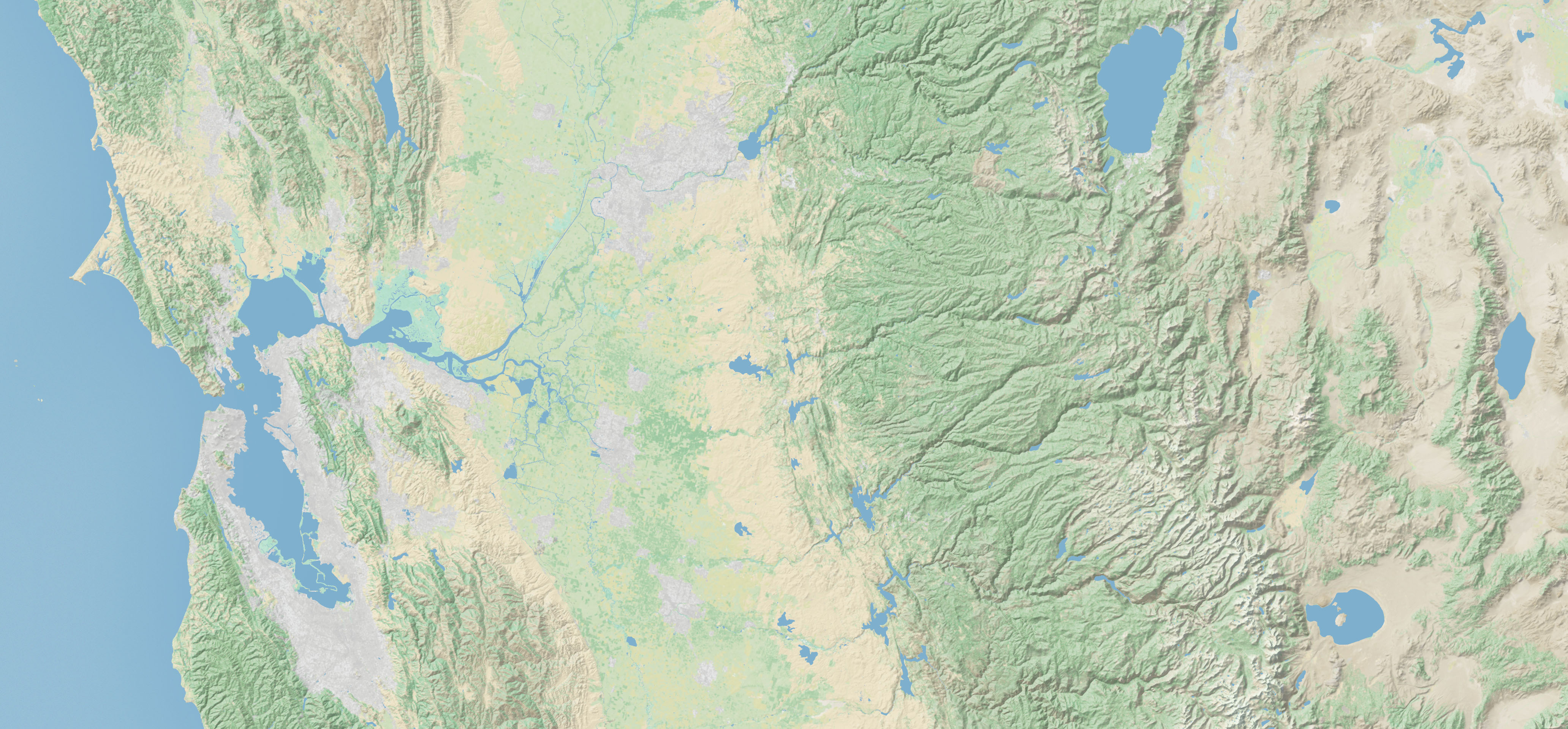
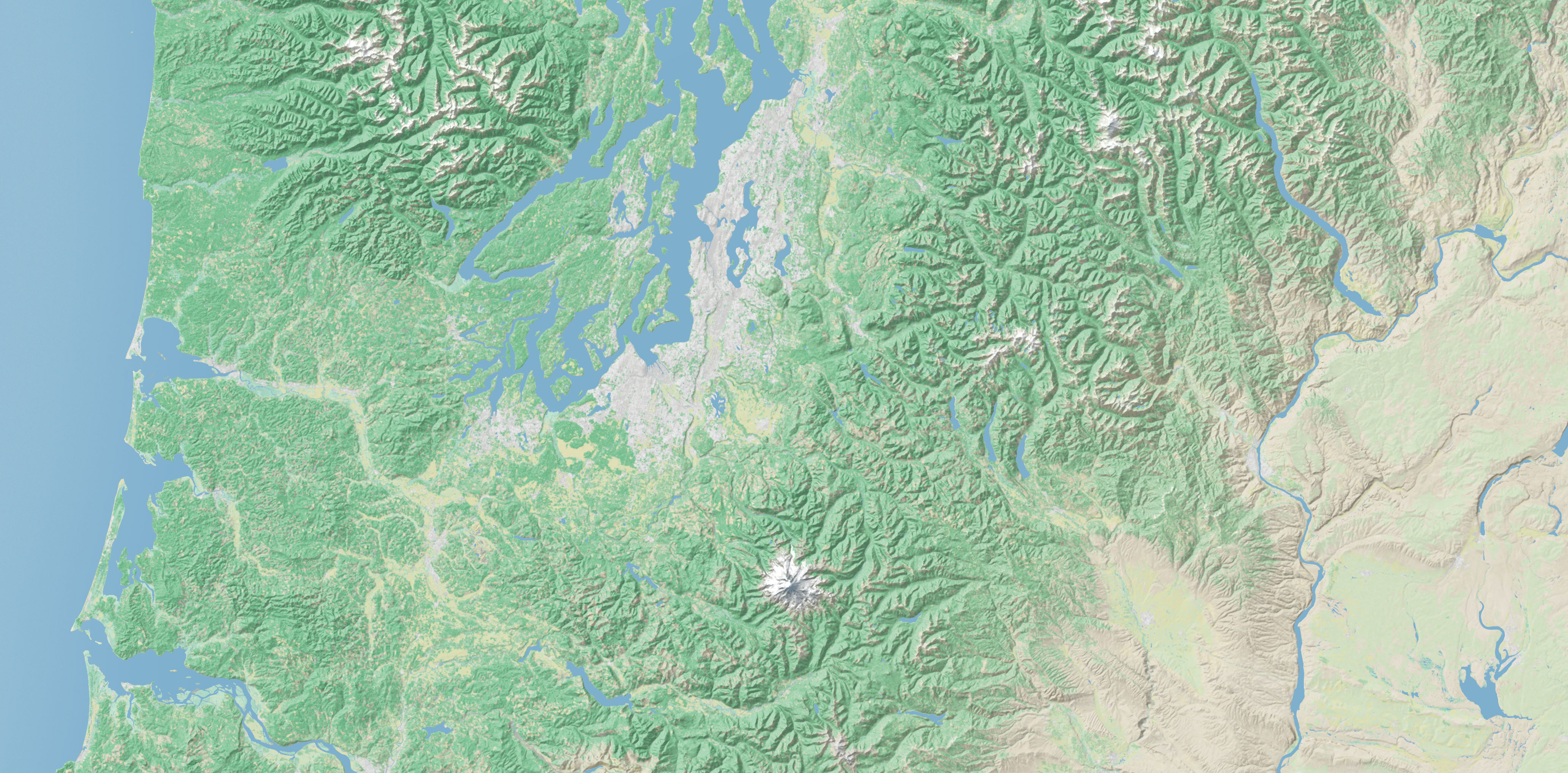
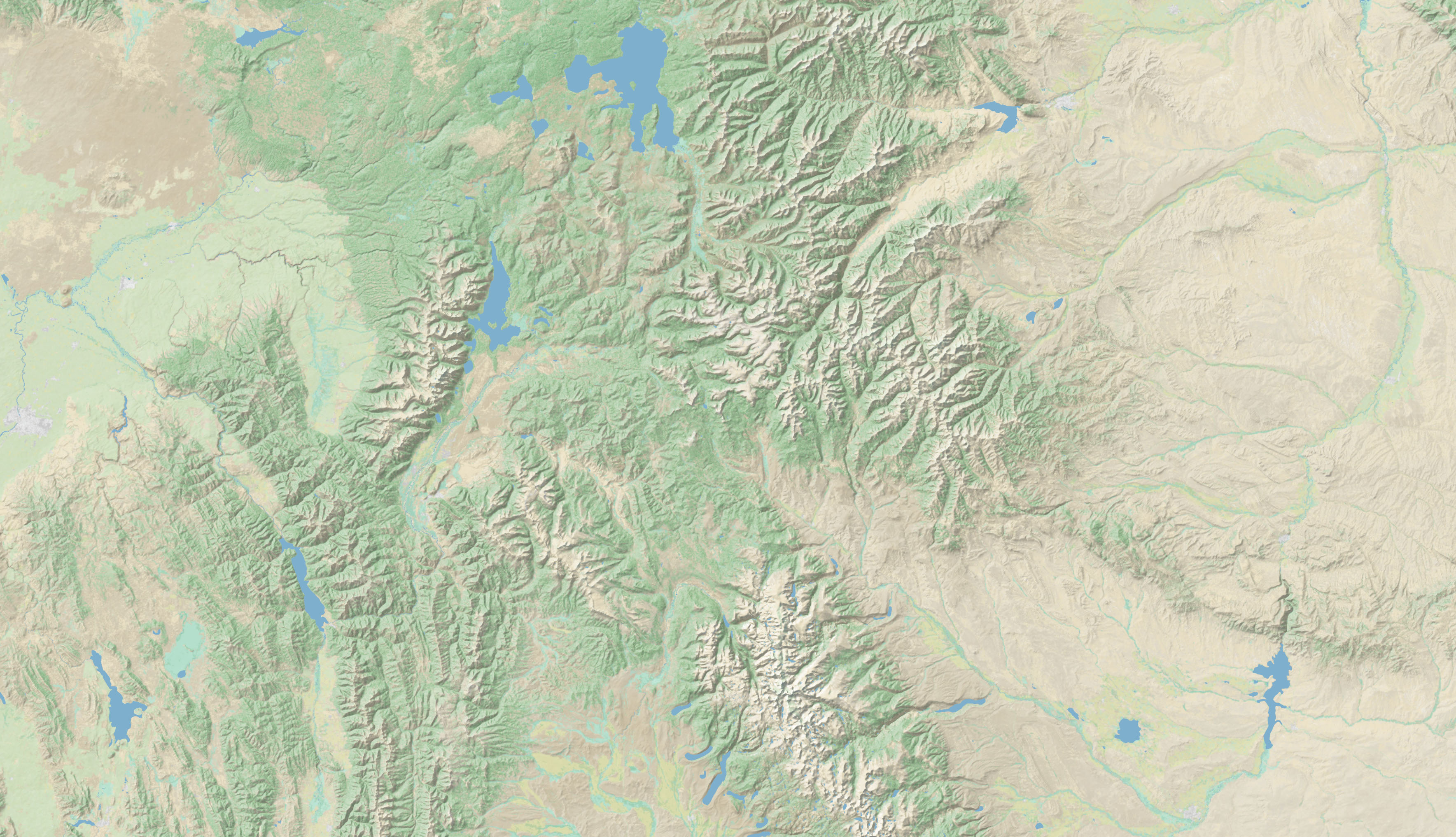
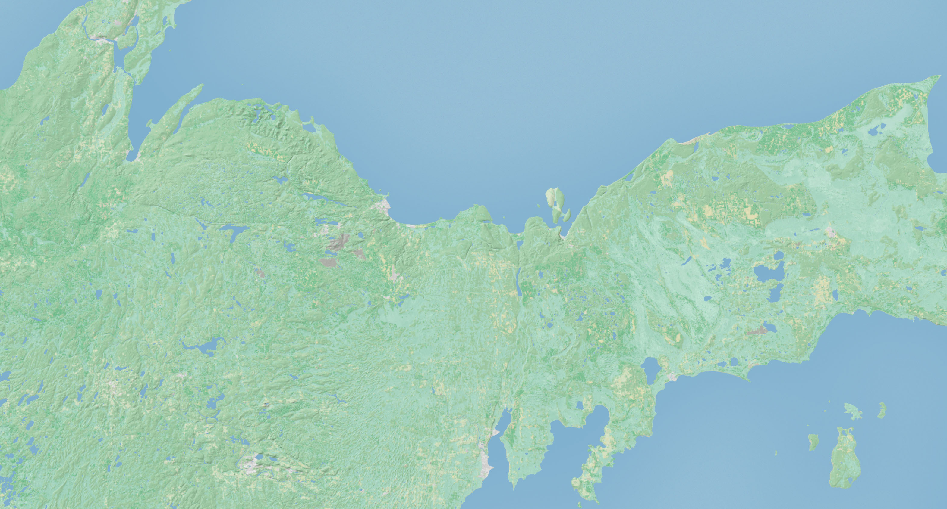
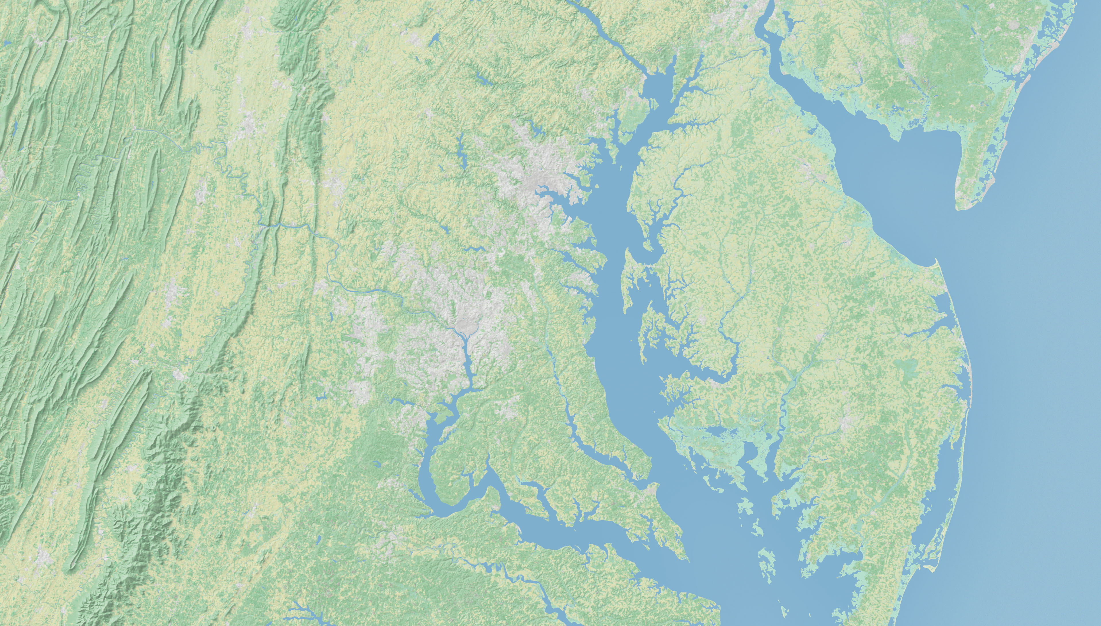
I have prepared larger-scale Natural Earth relief/land cover data for the National Atlas program. An interagency agreement between the US Geological Survey and my employer, the National Park Service, has allowed me to work on this project. The new Natural Earth data will be large—the contiguous US measures nearly 50,000 pixels in width, more than 16 feet at 254 DPI—with each pixel representing 100 meters on the ground. The georferenced images will precisely match National Atlas 1:1 million vector data. They are intended as background bases for general purpose mapmaking. The full resolution samples below show a diversity of landscapes in the US. Note that the final data will offer the embedded water bodies as an option. I presented this project at the NACIS Greenville conference, October 2013. Tom Patterson |
|||||||
|
|||||||