A benchmark for comparisons
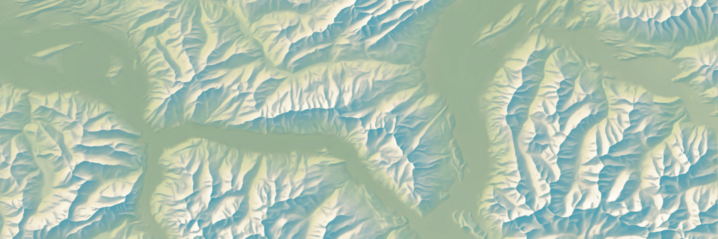
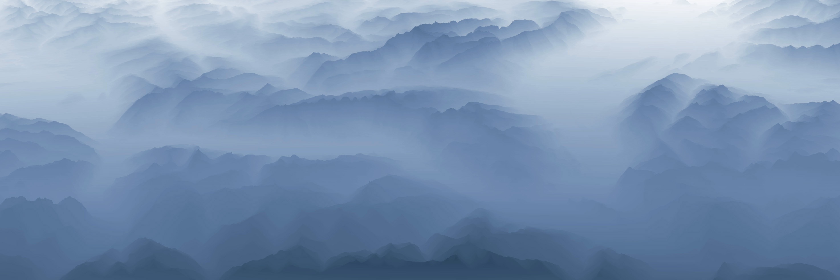
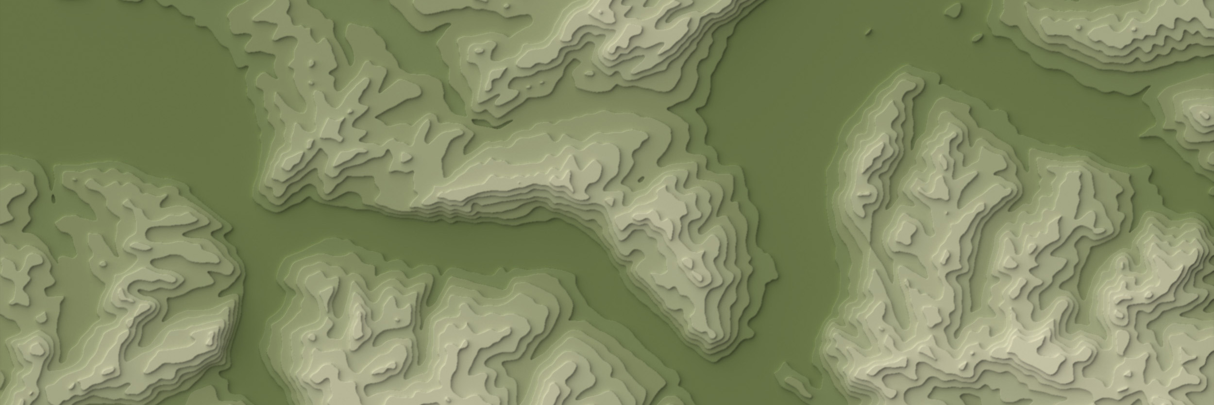
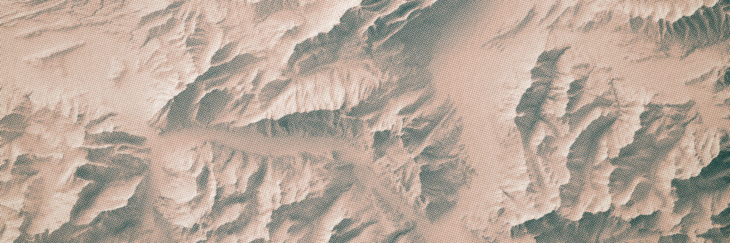
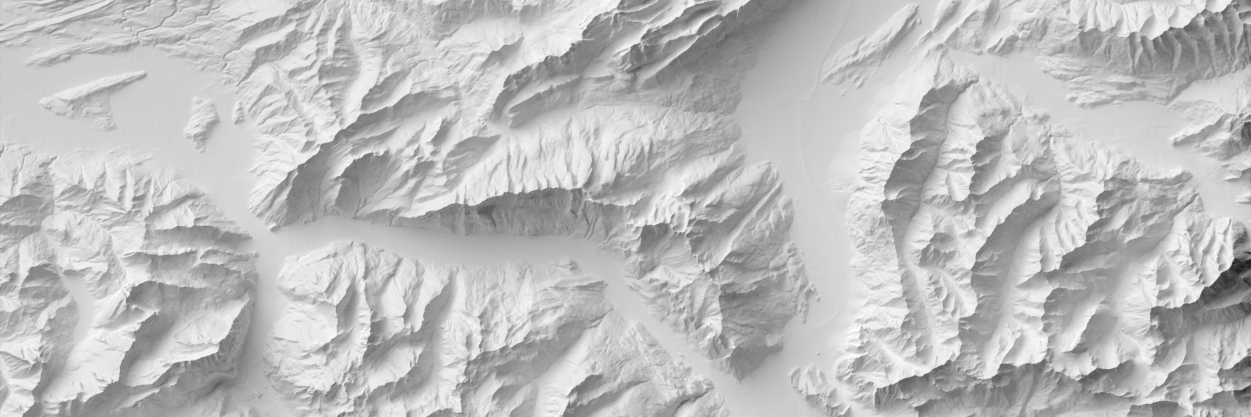
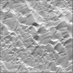
The depiction of terrain on maps is undergoing a renaissance due to new digital techniques. As demonstrated by the images above, one can represent the same terrain many different ways. To give mapmakers and researchers "common ground" for comparative experimentation, we offer sample Digital Elevation Models (DEMs) available in two categories: multi-resolution and archetypal landforms.
Multi-resolution DEMs are available for mountainous areas in Alaska, Colorado, and Switzerland at a range of resolutions. For example, there are eleven DEMs in the Colorado series starting at 1-meter resolution and ending at 5-kilometer resolution, a scale that includes most of North America. Each of the Colorado DEMs has the same center point and same number of height samples, 1,500 x 1,500.
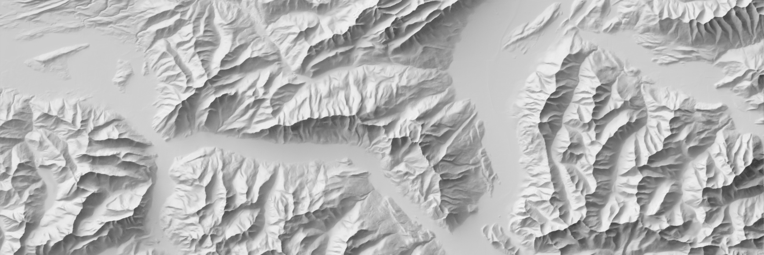
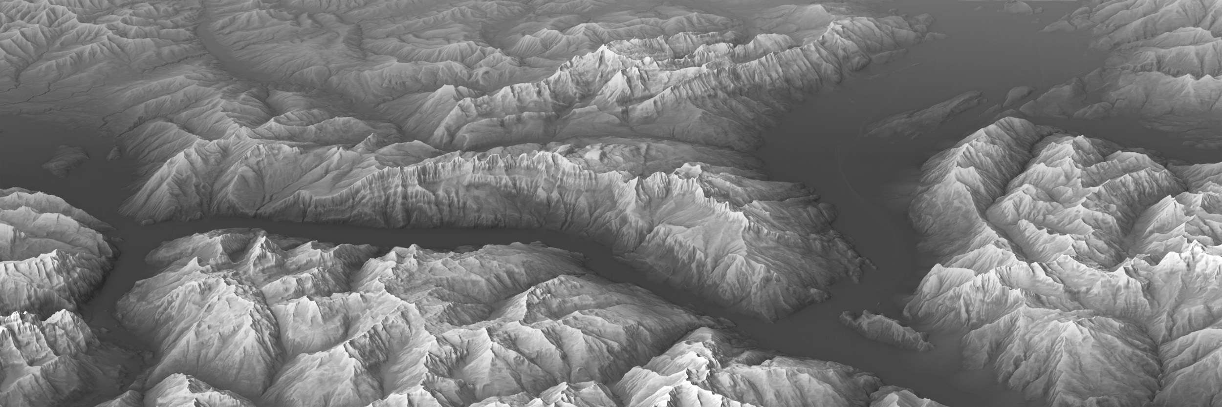
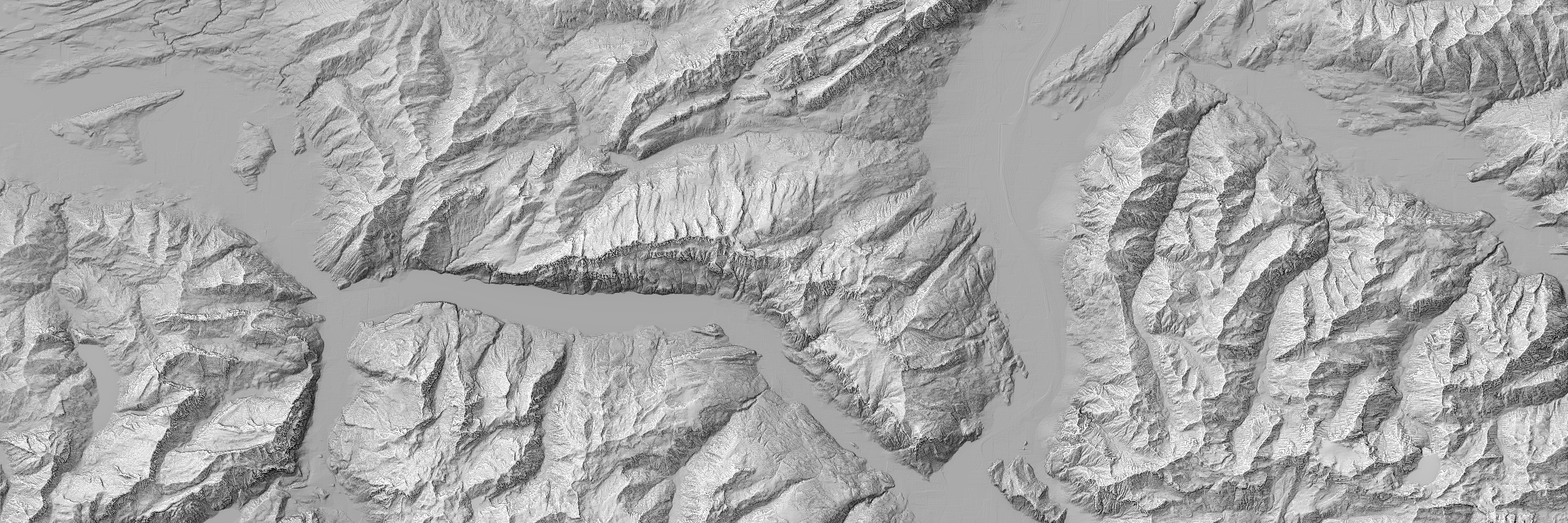
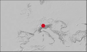
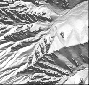
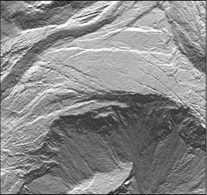
The idea for multi-resolution DEMs originated with this illustration centered on the Säntis Group, Switzerland, in Eduard Imhof's classic text, Cartographic Relief Presentation. Inspired by his example, we prepared a series of multi-resolution DEMs focused on Churfirsten, a nearby mountain that has a distinctive crescent-shape (see banner images above).
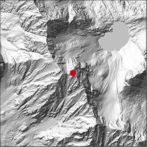
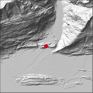
Archetypal landform DEMs are now being added to the site starting with Crater Lake, Oregon, and four others. As more elevation data derived from high-resolution LiDAR become available, we will be adding other places that have distinctive terrain.
We have permanently stored the elevation models on the Zenodo website. The download links below will take you there.
Learn more
04 Nov 2020 article in Cartography and Geographic Information Science
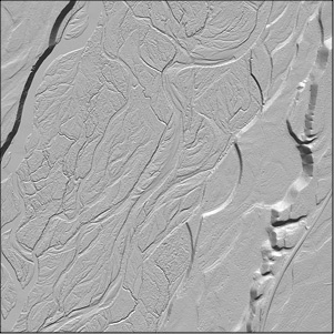
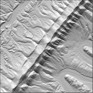
1) Gore Range, Colorado, USA
Resolutions: 1, 5, 15, 30, 90, 250, 500, 1,000, 2,000, 2,500, and 5,000 meters, 1500 x 1,500 height samples each
Sample Elevation Models
for Evaluating Terrain Representation
License
Creative Commons Attribution 4.0 International
All data used to prepare the DEMs found on this site are from free sources. The DEMs that derive from USGS 3DEP, Canadian government, and SRTM data are in the public domain. The DEMs deriving from ViewFinderPanoramas have been made available by Jonathan de Ferranti under the Creative Commons Attribution 4.0 International license.
Contact us
Please email us with any questions or if you have suggestions to improve the site
Sarah Bell
Daniel Huffman
Bernie Jenny
Patrick Kennelly
Brooke Marston
Tom Patterson
Alex Tait
1 meter
5,000 meters
Multi-resolution DEMs
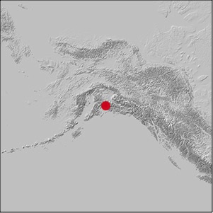
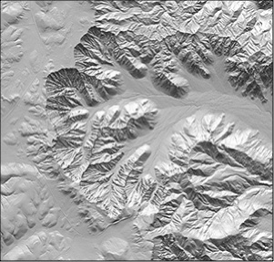
2) Valdez, Alaska, USA
Resolutions: 3.3, 7.5, 15, 30, 90, 250, 500, 1,000, and 2,000 meters, 1500 x 1,500 height samples each
3.3 meter
2,000 meters
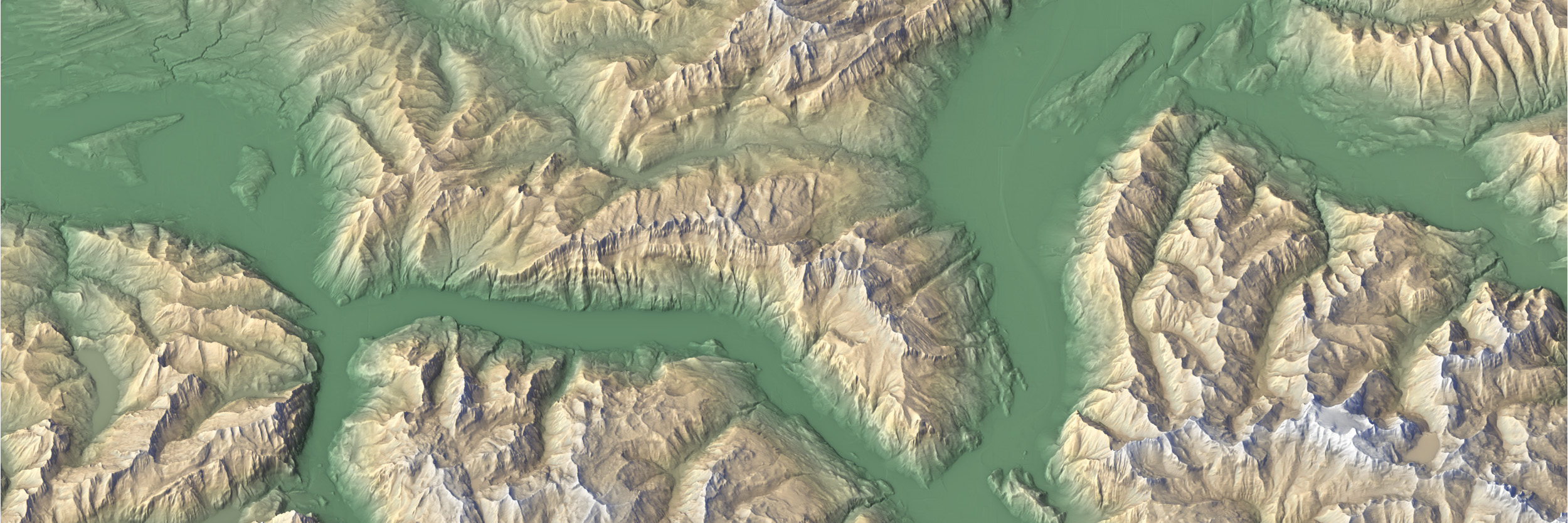
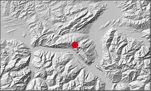
3) Churfirsten, Switzerland
Resolutions: 30, 60, 120, 250, 500, 1,000, and 2,000 meters, 2,500 x 1,500 height samples each
30 meter
2,000 meters
Churfirsten, Switzerland

Video: 2019 NACIS conference presentation. 22:46
Wanted: more landform DEMs
We are currently searching the world for elevation data of iconic landforms to include here. Canyons, drumlins, hills, tablelands, and strato volcanoes are on our short list. If you can suggest a good place, please contact us. The elevation data must be free of artifacts, high-resolution, and in the public domain. Thanks!
Archetypal landform DEMs
4) Jackson Hole, Wyoming, USA
Landform features: braided river, fluvial terrace
Resolution: 2 meter, 4,200 x 4,200 height samples
Full extent
Detail
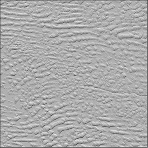
7) Sandhills, Nebraska, USA
Landform features: stabilized dune field
Resolution: 10 meter, 4,500 x 4,500 height samples
Full extent
Detail
3) Great Sand Dunes, Colorado, USA
Landform features: active dune field, sand sheet, sabkha
Resolution: 3.3 meter, 5,300 x 5,300 height samples
Full extent
Detail
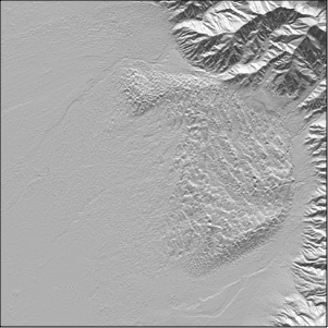
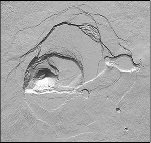
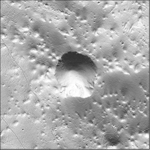
2) Crater Lake, Oregon, USA
Landform features: caldera, cinder cone, lava flow
Resolution: 3.33 meter, 5,200 x 5,200 height samples
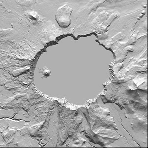
Full extent
Detail
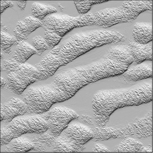
6) Massanutten Mountain, Virginia, USA
Landform features: folded ridges, hogback, water gap, meander
Resolution: 10 meter, 3,900 x 3,900 height samples
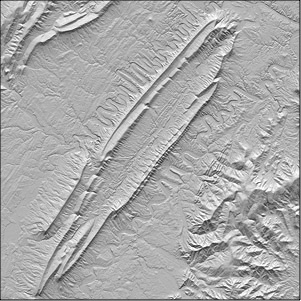
Full extent
Detail
1) Bryce Canyon, Utah, USA
Landform features: Eroded plateau, badlands, monoliths (hoodoos)
Resolution: 1 meter, 4,000 x 3,800 height samples
Full extent
Detail
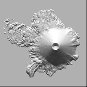
5) Kīlauea, Hawaii, USA
Landform features: shield volcano, caldera, pit crater
Resolution: 1 meter, 7,200 x 6,800 height samples
Full extent
Detail
5) Kočevje Rog, Slovenia
Landform features: karst, sinkhole plain
Resolution: 2 meter, 4,500 x 4,500 height samples
Full extent
Detail