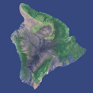
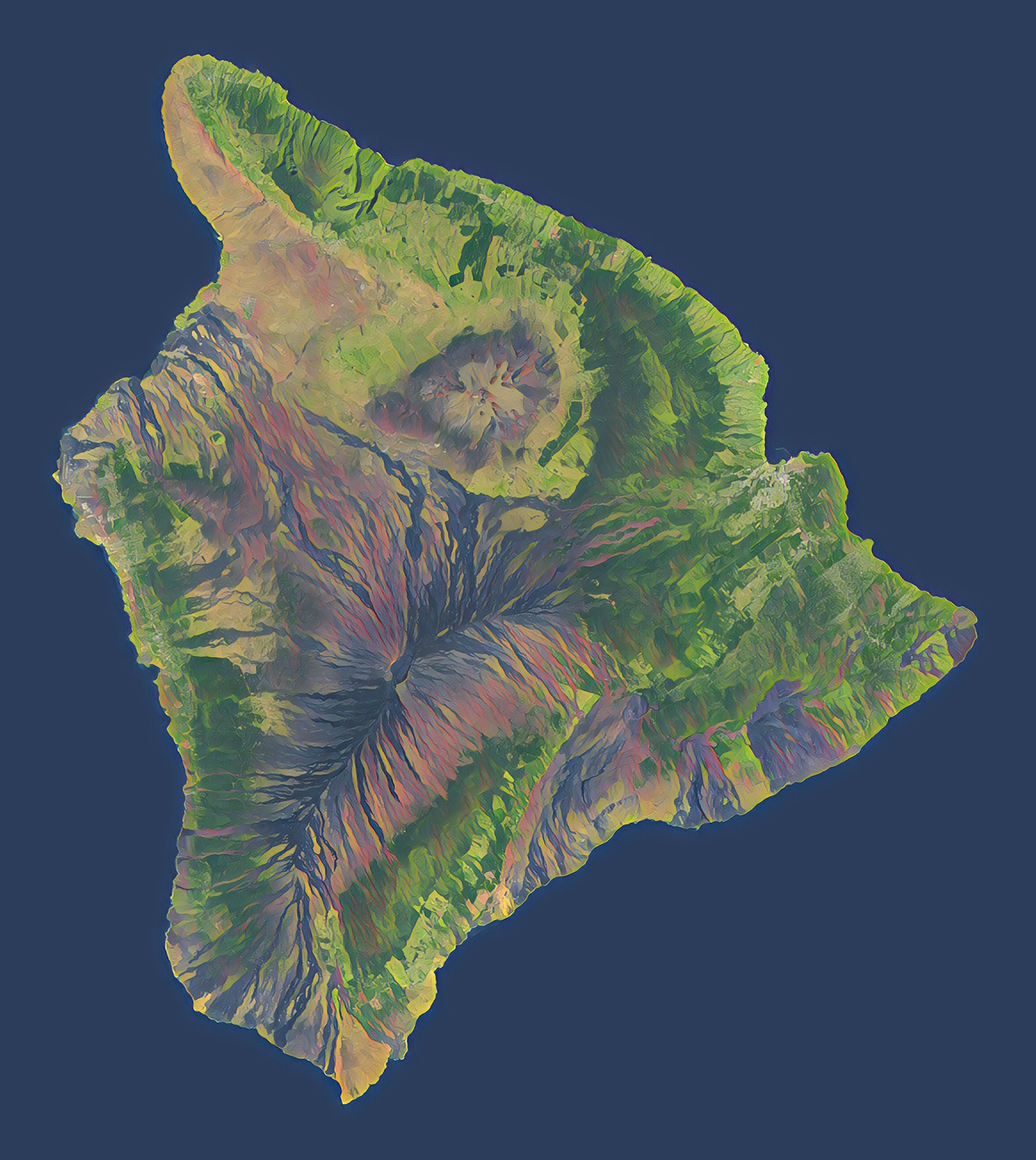
About the mosaic
This overview of the Big Island is a composite of 10 satellite images without seams. Although four 185-kilometer-wide Landsat images are enough to cover the entire island, the additional images were needed to avoid persistent clouds on the windward (east) side. The mosaicked images were taken over several years, including a February 2019 image showing the destructive 2018 lava flows in Puna District. The final image resolution is 15 meters.
To learn how the mosaic was made, refer to this blog post and this tutorial.
Downloads
Big Island of Hawai‘i Landsat Mosaic
Tom Patterson


Terms of use
The Landsat images on this page are in the public domain. You may use them any way you like, including modifying the content, digital and print reproduction, and selling them for profit. Consider the images as yours.